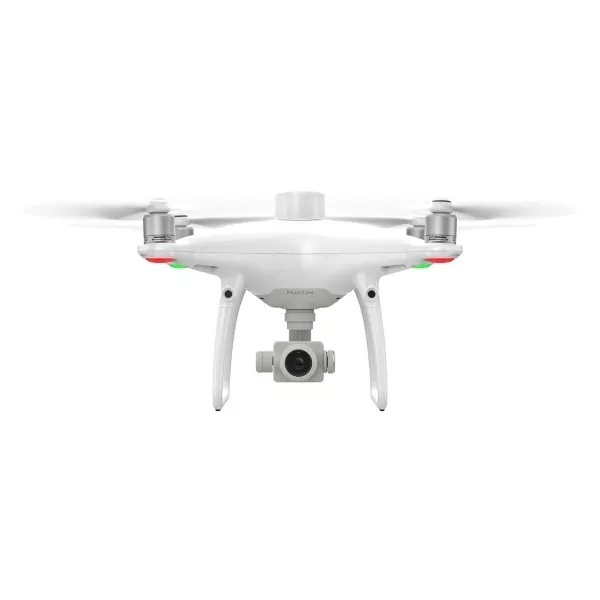
- Designed to deliver centimeter-level accurate mapping that is extremely useful for surveying, construction sites, and inspections.
- Utilizing an RTK receiver on the top of Phantom 4 Pro, the Phantom 4 RTK SE Combo can achieve 1cm+1ppm RTK horizontal and 1.5cm+1ppm RTK vertical positioning accuracy.
- Performs mapping duties in real-time.
- Utilises the Photogrammetry and Waypoint Flight modes in the GS RTK app directly and get mapping-specific functionality, such as selecting flight paths and directly loading KML area files.
- Welcome to DJI Sunway Pyramid! Please contact us to check for stock availability before ordering, thank you for understanding! Contact Us
603108
- Home
- Camera Drones
- Handheld
- Education & Industry
- Enterprise
- About Us
- Our Blog
- DJI Academy Malaysia


