DJI SUNWAY PYRAMID BLOG
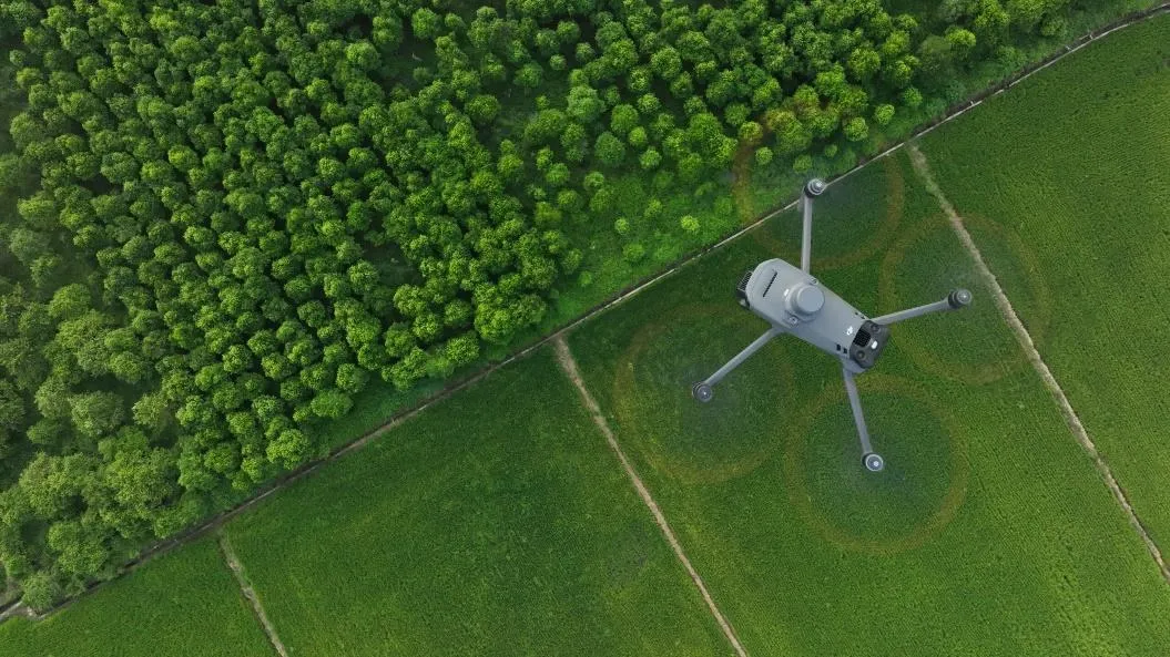
Mavic 3 Multispectral vs Phantom 4 Multispectral
What is Multispectral ? Multispectral imaging allows users to capture an image with a specific wavelength range across the electromagnetic spectrum. This wavelength cannot be captured by standard cameras regardless of commercial or industrial or even
Enterprise Drone Training - DJI Academy
From our experiences, 90% of the drone incidents were caused by pilot error. Pilot error which included lack of the skill and experience to operate a drone, not being in training for piloting a drone, nervousness, overconfidence, and etc. The circums
3D Mapping Flow
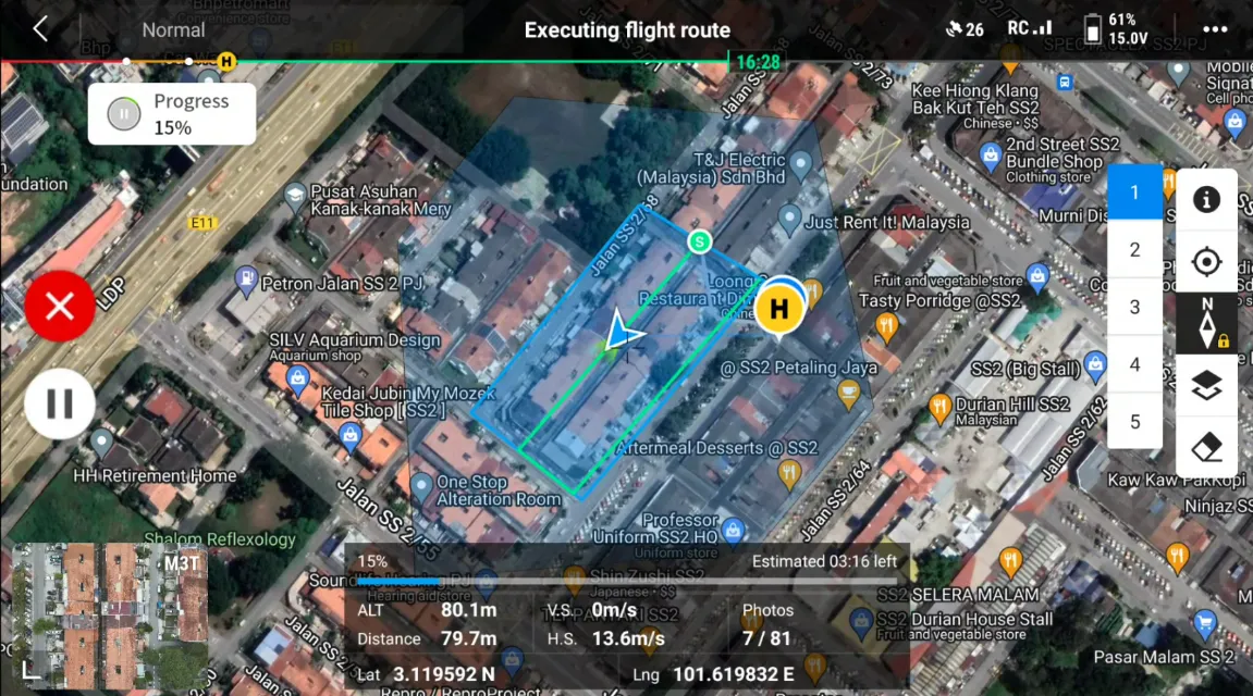
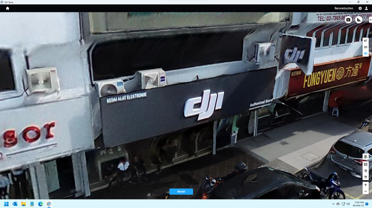
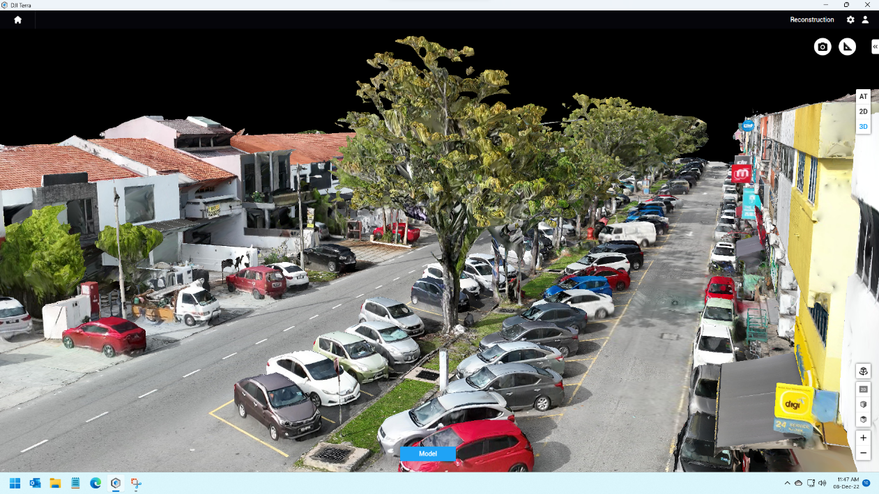
3D mapping is another form of mapping where it uses technology to aid in profiling buildings, land, or any object in 3 dimensions for multiple usage. For normal mapping data is captured in 2D view. The 2D view shows a map of data in a plane, however
3D Mapping Comparison by L1 and M3E
Again Mavic 3 Enterprise (M3E) will be the main topic today. Previously, Mavic 3 Enterprise (M3E) had shown the capability of mapping through our test. However, those are basic mapping data such as topography and orthography. It has been mentioned th
Application of M3E and M3T
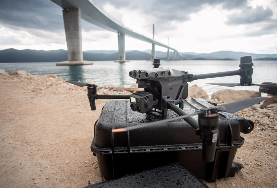
Finally, DJI is bringing in a more affordable enterprise drone in the last quarter of 2022. Introducing Mavic 3 Enterprise Series, with currently 2 options which is Mavic 3 Enterprise (M3E) and Mavic 3 Thermal (M3T). From the specification of the dro
P4RTK vs M3E Comparison
Here is the recently launched enterprise drone for entry level - Mavic 3 Enterprise (M3E). It was said that the drone spec caters for mapping usage and will be a replacement to Phantom 4 RTK (P4RTK). On paper, almost all aspects are better than Phant
M3T vs M30T Comparison
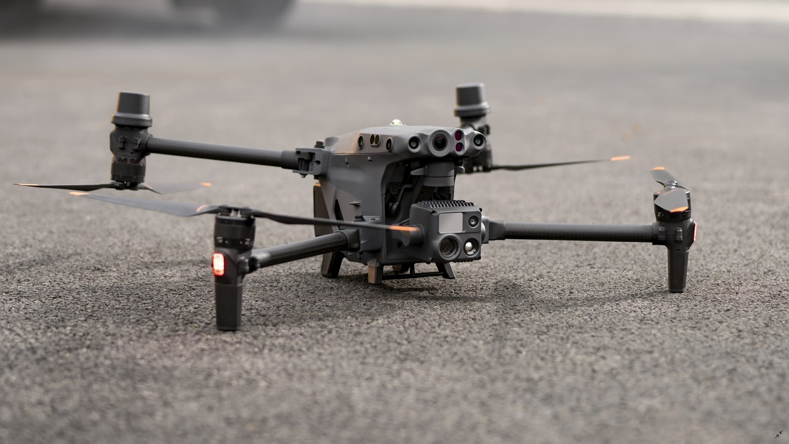
A about 7 month old drone series with a about 4 month old drones series, Matrice vs Mavic, or rather head to head, toe to toe. Matrice 30T (M30T) and Mavic 3 Thermal (M3T) are built for about the same purpose. And yet, what is the difference ? First,
Does M30T has the same camera as M300 with H20T?
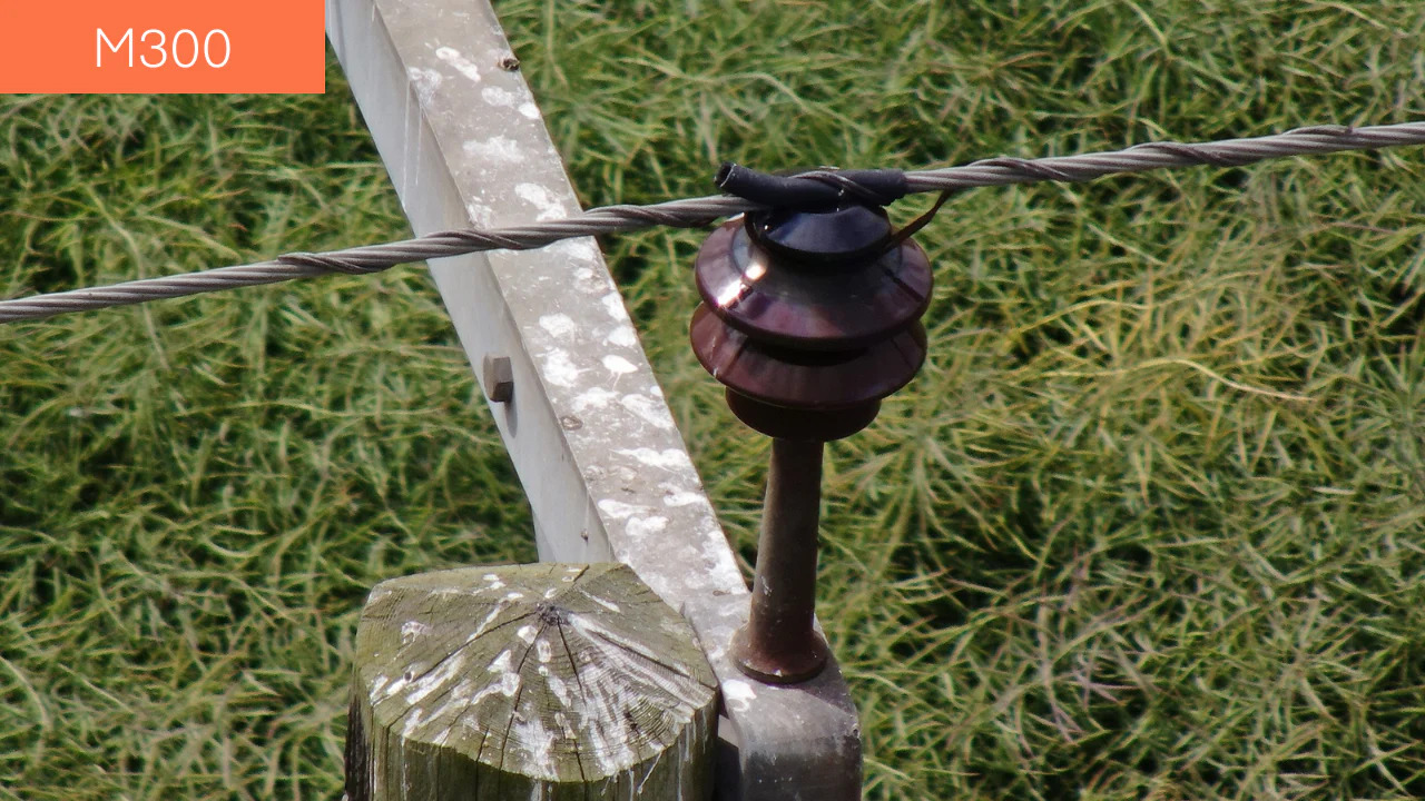
Same same, but different. This is a phrase from Tinglish (Thai-English) stating that both things are similar but not the same. This is exactly the case when we are comparing both the Matrice 30T camera with Zenmuse H20T that is able to be carried by
Aerial Gas Detection
Safety is the number one priority for every country. Whenever there are dangerous missions, the government will try to reduce the use of manpower and attempt to make full use of the technology. This is where drones come into place. Unlike huan, drone
Drones Applications
In today’s world drones are so advanced that they are not only used as a toy, drones are very capable especially when it comes to working in harsh environments. Drones can change the workflow for inspection teams and surveying teams. At the moment in
Solar Panel Case Study
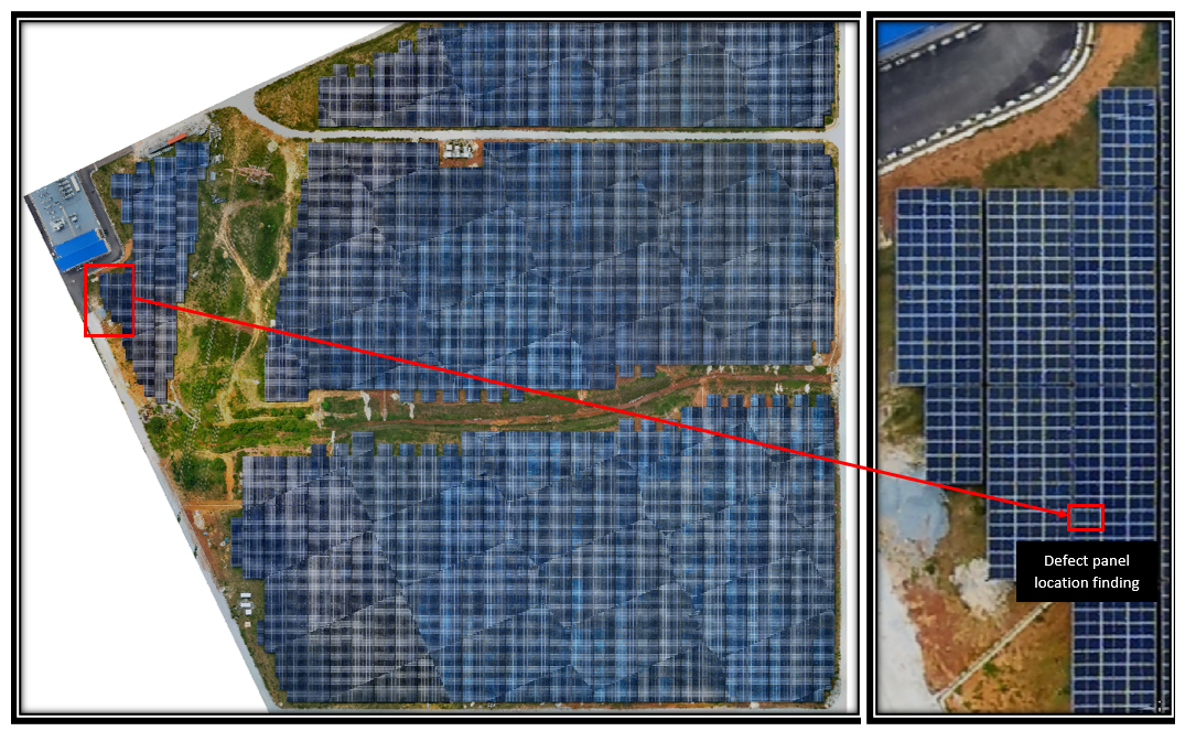
Three levels of Enterprise drone solution No drone program or application is the same. Choosing the right equipment depends on a number of factors, including your environment, the scale of your operations, the type and quality of data you intend to c
Surveying Case Study
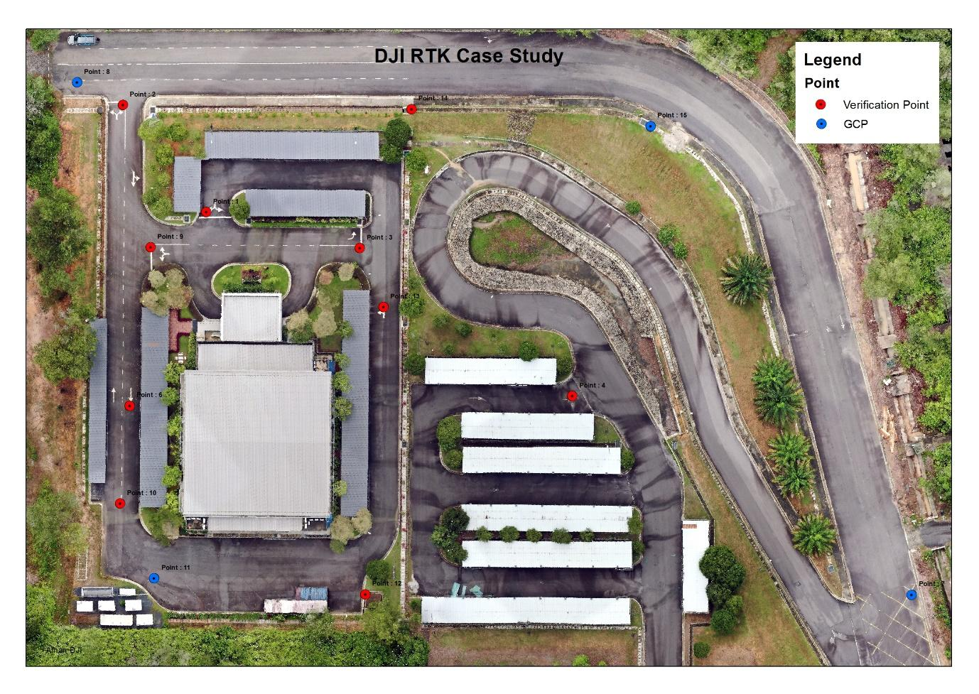
Introduction Difference between using D-RTK, GCP and just the drone itself in doing survey jobs. In the beginning, we will need to select a location to conduct the study. The choice we have access to will be MRANTI, which is formally known as Technol
The Ultimate surveying drones for you, or is it?
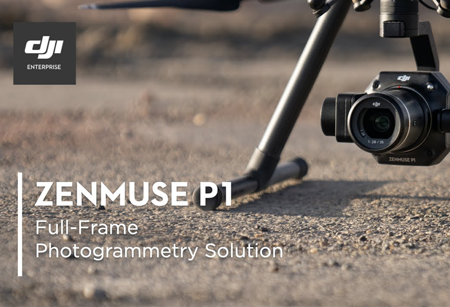
DSLR resolution in the air & more. Ordinary consumers will think that a great camera is to have as many megapixels as possible. But is it actually true? In cinematography, a larger & better quality sensor is far more important than megapixel count.
Can a smaller drone do it all?
"It looks like the M300 RTK and the Mavic 2 Enterprise Advanced had a baby." This was the way Toby Knisely, Content Manager for DJI Enterprise, described the M30 Series at its official unveiling. This M30 is a combination of both high performance M3
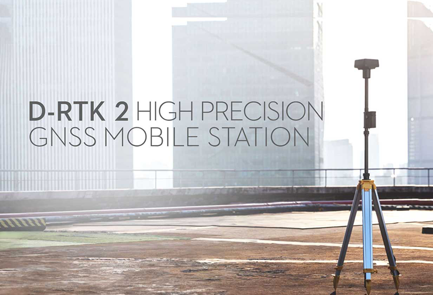
What’s D-RTK 2? GNSS?
D-RTK 2 Mobile Station is DJI’s upgraded high-precision GNSS receiver that supports all major global satellite navigation systems, providing real-time differential corrections that generate centimeter-level positioning data for improved relative acc
Work like a boss? Monitor from the office.
A huge number of industries are slowly adapting into implementing drones in their company and it helps in saving time and manpower while offering better efficiency. Drones are a great replacement for humans when it comes to data collection. They are
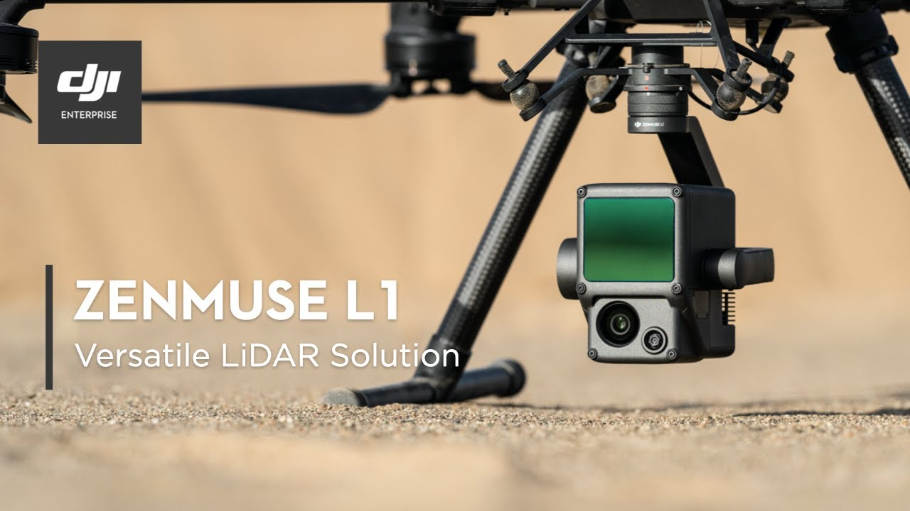
DJI Zenmuse L1
Lidar is a huge word for those who know. It stands for Light Detection and Ranging, it uses light to identify range. Lidar is not what we can spot daily in normal cameras due to the price of the sensor and ordinary individuals might not need such so
H20N redeems the M300 back from M30?
The trick of having the ability to swap among payloads will never get old. With the launching of M30 drones from DJI, DJI had also come out with a new payload for DJI M300 RTK. The DJI Zenmuse series of payloads need no introduction, now DJI have so
Drones vs Men
Men or Drones, why not both? Having machines working for people is always the dream for many industries. For decades, machines can only perform in the production line of work and need extensive care during operation. In recent years, drones have com
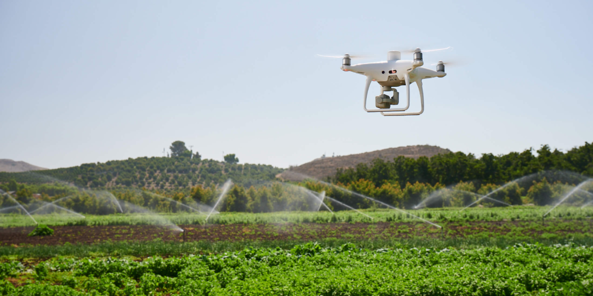
DJI Phantom 4 Multispectral in Agriculture
One tool in particular has boosted precision agriculture's potential to new heights: the drone. Drone data and an aerial view of your fields can help you make more educated decisions, remove guessing, and anticipate problems before they occur. There

